A UK renewables developer needed to understand the terrain across a 100-hectare parcel of farmland before finalising the layout for a new solar array.
Ground levels, hedgerow and tree heights, and the position of an overhead power line crossing the site all needed accurate mapping to inform table spacing and shading calculations - but a site this size, split across multiple field parcels, ruled out a slow, piecemeal ground survey.
The design team needed a clear picture of the land itself: subtle changes in ground level across several parcels, the height of trees and hedgerows bordering the site, and the exact position of the HV pylons and overhead line running through it.
Every one of these factors affects where PV tables can go and how much shading they will receive through the year. Getting this wrong at design stage - or working from incomplete data - risks a redesign once construction starts, or a layout that underperforms once panels are installed.
On a site broken up by hedgerows, trees and roads, gathering that level of detail quickly on foot is difficult.
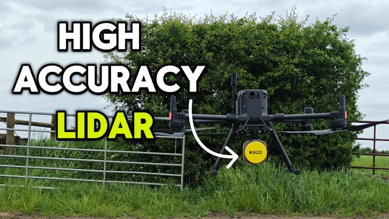
DroneWorks flew the full 100 hectares using a DJI M350 RTK drone fitted with a Rock R3 Pro LiDAR sensor, capturing a dense point cloud across every parcel in a single day of flying, with a day beforehand spent establishing ground control to tie the survey into a verified coordinate system.
Because LiDAR pulses pass through gaps in foliage and return from the ground beneath, the survey captured the bare-earth terrain even where hedgerows and trees would have hidden it from a camera-only survey - along with the height of that vegetation and the position of the HV pylons and lines crossing the site.
The whole site was processed, quality-checked and extracted to CAD within a week of capture - a layered topographic drawing plus an interactive 3D model, ready for the design team to work from directly.
Read the full article 👉
https://blog.drone-works.uk/post/drone-lidar-survey-for-solar-farm-design-in-the-uk-20260720
 DroneWorks